


Modern Technology to Advance Conservation Efforts
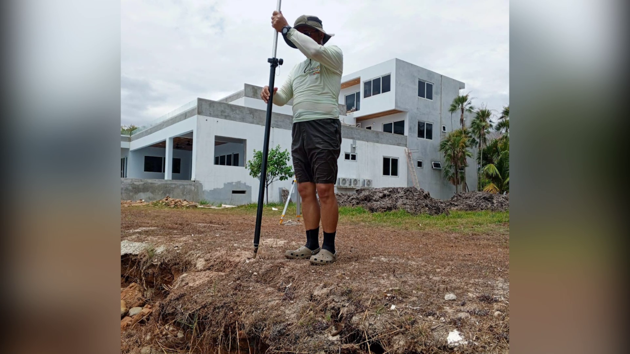
Down in Placencia Village, the conservation group Strong Coasts is hosting some exciting technical training on LiDAR technology and Multispectral Imaging. These high-tech tools provide 3D data on terrain, vegetation, and wavelengths beyond what the naked eye can see. At the same time, Strong Coasts is holding sessions on erosion, a topic that hits close to home for the villagers. On Monday night, the community gathered for a presentation on coastal erosion, based on three days of data collected by visiting experts from the U.S. We caught up with Placencia-based Environmental Engineering Professor Maya Trotz to learn more about these activities.
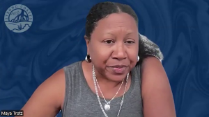
Maya Trotz
Maya Trotz, Environmental Engineering Professor
“The lidar and multispectral drone helps, they are trying to push the science to find out what information they can get on the ecosystem. Can they tell whether it is a mangrove or palm, from the data. Can they tell how tall something is. Can they tell the density of the mangrove, the health of the mangroves. It is pushing the boundaries for that type of research can support ground shooting activities that with a smaller staff you don’t really get to trample through those ecosystems to document that. Looking at how some of these tools can complement the work that people are doing. With three days of data I asked that a talk be given. We did that last night with one day’s notice. It was a packed crowd. It was supposed to rain; it stormed yesterday, and people came out. We were supposed to squeeze in to a small part of the Point Placencia Restaurant and Bar, but people are really interested. He gave a presentation that was walking through a 101 on erosion and sharing data collected so far. There is a stretch of beach, because of how the waves are coming in, it erodes faster. That is one of the areas the community is really concerned about. It has a lot of sargassum filling there.”
Facebook Comments