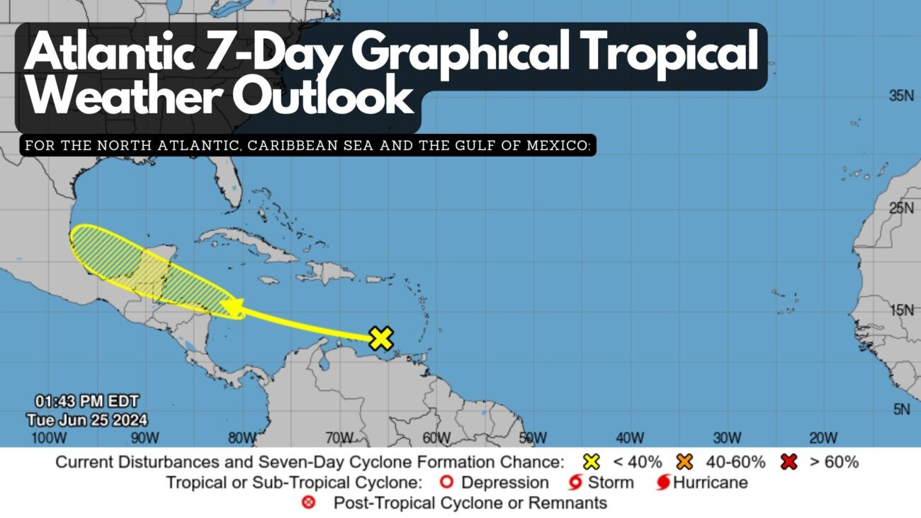
Atlantic 7-Day Graphical Tropical Weather Outlook
The NWS National Hurricane Center in Miami, FL, has issued a tropical weather outlook for the North Atlantic, Caribbean Sea, and Gulf of Mexico as of 2:00 PM EDT on Tuesday, June 25, 2024. A tropical wave currently located over the southeastern Caribbean Sea is generating disorganized showers and thunderstorms while moving quickly westward at approximately twenty-five miles per hour. Environmental conditions may become conducive to gradual development of the system once it reaches the western Caribbean Sea later this week, with potential for further development over the southwestern Gulf of Mexico during the weekend. The chance of formation through the next forty-eight hours is low at 10 percent, and the chance of formation over the next seven days is also low at twenty percent.


Facebook Comments