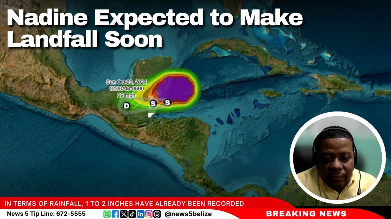
Nadine Expected to Make Landfall Soon
The National Meteorological Service of Belize (NMS) and the National Emergency Management Organisation (NEMO) held a press conference to provide the latest information regarding Tropical Storm Nadine.
Tropical Storm Nadine is spreading over coastal parts of Corozal, Belize, and Stann Creek Districts, with a warning in effect from Belize City northward to the Mexican border. As of 6 AM, Nadine was located 60 miles east of Belize City, moving west at 9 mph with winds of 45 mph. The storm is expected to make landfall between 9 AM and midday, with further strengthening possible. The main threat is heavy rainfall, with 4 to 6 additional inches expected, leading to possible flooding. Rough seas and strong winds could cause coastal flooding and minor damage. Residents, especially south of Belize City, should remain vigilant.
Since the storm was classified and named Nadine, bands of showers and thunderstorms have intensified, becoming more frequent across the country. Constant rain, with embedded thunderstorms, is now affecting much of the country.
According to Chief Met. Ronald Gordon, in terms of rainfall, 1 to 2 inches have already been recorded, with expectations of an additional 4 to 6 inches as Nadine progresses. He noted that, due to the storm’s broad circulation, focusing on a precise landfall location is not relevant, as the centre is not well defined. Tropical storm force winds, which extend up to 295 miles north of the centre, are affecting areas as far as Cancun. Winds in Belize have so far reached gusts of up to 20 knots, but stronger gusts are expected as the storm moves further onshore, potentially reaching 45 miles per hour.
Gordon says that areas such as Belize City, Caye Caulker, San Pedro, and Corozal are most likely to experience tropical storm-force winds. The core of the storm is expected to move across Belize by midday, rapidly weakening as it moves inland, and potentially dissipating by tomorrow over southern Mexico. Rainfall will persist as the storm moves west but will gradually decrease by tomorrow and into Monday.
He also mentioned the potential for minor coastal flooding, particularly north of the storm’s centre, with water levels rising by about one foot or less. While a significant storm surge is not expected, rainfall could result in localised flooding.
Gordon explained that the winds associated with Tropical Storm Nadine are more spread out, with the stronger winds located farther from the center. He described the system as broad and disorganised, unlike more compact storms where strong winds are concentrated near the center. While Belize has not yet experienced sustained tropical storm-force winds, Gordon said that gusty winds are still expected as the storm approaches.
Gordon said, “I would say that we have had deterioration since last night based on the weather conditions, the rain, and so forth. But certainly, it will get worse. As the morning progresses, I won’t give a specific time. We expect landfall in time between 9 o’clock and midday. So we can look at that window to say that those would be the most severe time or within that time period. We would expect the more severe weather conditions from the system.”


Facebook Comments