Beryl Rapidly Strengthens into First Hurricane
The National Hurricane Center is now tracking Hurricane Beryl, currently less than 1,000 miles east of the Caribbean.
The second named storm of the 2024 Atlantic hurricane season rapidly intensified from a tropical depression to a tropical storm and then to a hurricane within 24 hours, aided by favorable atmospheric conditions.
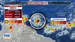
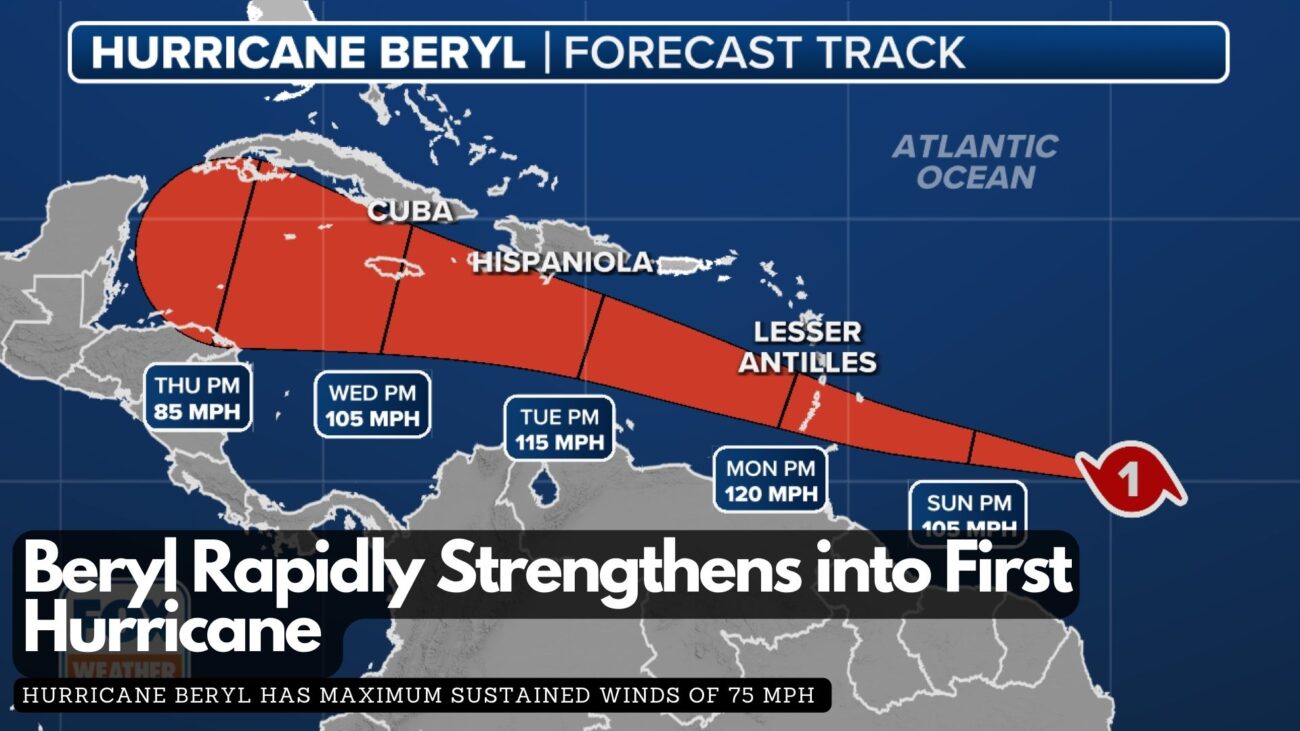
According to the latest report from the National Hurricane Center, Hurricane Beryl has maximum sustained winds of 75 mph and a minimum central pressure below 992 MB, classifying it as a Category 1 hurricane on the Saffir-Simpson Hurricane Wind Scale. This early season hurricane formation is unusual, as the average date for the first hurricane in the Atlantic basin is August 11.
Water temperatures in parts of the central Atlantic are more typical of August and September, and Beryl’s small size has allowed it to avoid Saharan dust and adverse upper-level winds.
 A Hurricane Warning is in effect for Barbados, while other nearby islands, including St. Lucia, Grenada, St. Vincent and the Grenadine Islands, Martinique, Dominica, and Tobago, are under watches.
Damaging winds, both tropical-storm-force and hurricane-force, extend up to 45 miles from the center. On its current trajectory, Beryl will impact the Windward Islands with damaging wind gusts over the next 72 hours as it moves west or west-northwest.
The latest forecast from the NHC indicates that winds could reach up to 120 mph in the eastern Caribbean, potentially upgrading Beryl to a major Category 3 hurricane. In addition to hurricane-force winds, the storm is expected to bring torrential rains, with forecast totals of 3-6 inches across Barbados and the affected Windward Islands, likely causing localised flooding.
The NHC has also upgraded its storm surge forecast, now predicting a “life-threatening” surge that could raise water levels by 5 to 7 feet above normal tide levels in areas of onshore flow.


Facebook Comments