1200 Students Attend GeoEducation Expo in Belize City
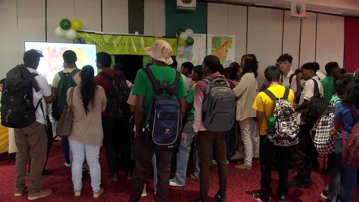
Today, over a thousand students from all over the country came together for the ninth annual GeoEducation Expo. This interactive event is all about inspiring the next generation of educators and students to dive into the world of Geographic Information Systems (GIS) and see how it plays a crucial role in education and advancing STEAM (Science, Technology, Engineering, Arts, and Mathematics). Earlier today, News Five’s Britney Gordon stopped by the Ramada Hotel in Belize City to get the scoop. Here’s her report.
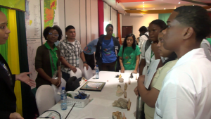 Britney Gordon, Reporting
To most people, the term Geographic Information Systems (GIS) might not sound familiar. But these powerful databases are used in many areas of our lives, like population surveys, weather tracking, and land assessment. Since 2011, Total Business Solutions Limited has been shining a light on the importance of GIS through the GeoEducation Expo. Managing Director Loretta Palacio explains how these systems can be lifesavers in times of crisis.
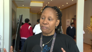
Loretta Palacio
Loretta Palacio, Managing Director, T.B.S.L.
“We’re all familiar with an Excel file, a database file. GIS makes it geographic. So you can look at the waters. You can look at low-lying areas. We’re experiencing floods right now. We’re talking about a digital terrain model that’s updated for additional evasion data that is accurate. So we can help the government, the organizations villagers, and residents, to understand why the flooding is happening and what we can do to mitigate the risk.”
Presenting at the event were representatives from the Belize Defense Force, the Department of the Environment, and other organizations that utilize G.I.S. in their daily operations.
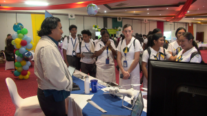 Loretta Palacio
“We have on display several maps, digital maps, physical maps showing the constituencies, what are the latest numbers. Which constituency have the smallest number of voters for the upcoming general election? You know, which constituency have the highest number? And so we’ve updated that and that’s on display. We also got data from the National Meteorological Service for the rains that came from November 14th to the seventeenth. And NMS, with Shirley Young, for helping us with that data. We have a beautiful map dashboard that shows the areas that received most of the rains.”
The event took place at the Ramada Hotel in Belize City, but participants came from all corners of the country. Students from Toledo Community College were up bright and early, boarding the bus at 5:30 a.m. to get there. Fourth Form student Fabian Solarzano shared that the trip was definitely worth it.
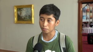
Fabian Solorzano
Fabian Solorzano, Student, Toledo Community College
“I’m excited to be here today, even though the sacrifice is big, to get up early and stuff. Yeah but it’s worth the trip, it’s good to learn a lot of things, especially when it comes to G.I.S. The different platforms you can use it in, how it is applied like maybe in fields like geography, or maybe analyzing data, gathering a lot of information and placing it in one thing so you can display it to people and it makes life easier.”
Britney Gordon
“What’s been the most exciting part of today’s experience?”
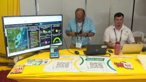 Fabian Solorzano
“Something that caught my attention today was how they use G.I.S. to interpret 3D models. For example, like the one just previewed, we just passed now, the one with the forecast, so they can predict what can happen over a long period of time. Maybe if there’s severe rainfall, how it gets 3D scale and imagery uses is very interesting.”
Another TCC student, Jeffrey Sho has a passion for technology. He hopes that in the future, more Belizeans are afforded the opportunity to foster a love for the field as he did.
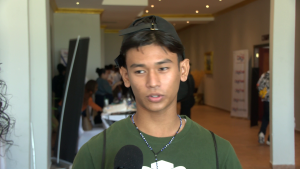
Jeffrey Sho
Jeffrey Sho, Student, Toledo Community College
“Well, I absolutely love technology, I love the fact that ArcGIS as the organization has taken their time to teach Belize or educate Belize about these topics, because I do feel that most Belizeans aren’t tech-savvy, and I appreciate them. I do wish that more schools would be available to partake in these events.”
The aspiring technician explains that events such as the GeoEducation fair expose him to different fields where he can apply his skills.
Jeffrey Sho
“I love technology, and my future career is to be a computer technician or IT major. So, I love G.I.S. I find it interesting, and I find it very useful. Find it interesting how they use it in crime, Belize Defense Force, and other organizations.”
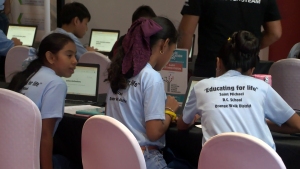 With technology advancing at lightning speed, it’s essential for kids to learn how these systems work and how they’re used in the real world.
Loretta Palacio
“We’re in a digital world. When we hear about digital transformation. So, digital transformation in education is here, has been here. But are we really serious about it? Are we using the available technologies to help our students learn better? To help our. educators teach better? And also to expose our students to careers? Because with G.I.S, it’s not only for you to be a tech person, but if you’re a marketing analyst, if you’re an agronomist, you’re a doctor, you need GIS, right? You’re a disaster management expert, whichever profession that you choose, GIS is relevant.”
Britney Gordon for News Five.


Facebook Comments