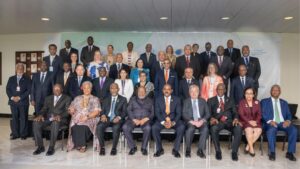
The fourth International Conference on Small Island Developing States (SIDS4) is underway in Antigua. More than 20 world leaders, along with representatives from the private sector, civil society, academia, and youth—nearly 4,000 participants in total—have gathered at the American University to tackle critical issues impacting the future of SIDS.

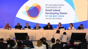
Under the theme “Charting the Course Toward Resilient Prosperity,” the four-day conference (27-30 May) will showcase innovations and develop practical solutions to address challenges driven by the climate emergency, spiralling debt, and health crises.
The conference will adopt The Antigua and Barbuda Agenda for SIDS (ABAS), a Renewed Declaration for Resilient Prosperity, outlining the sustainable development aspirations of small islands over the next decade and the support required from the international community.
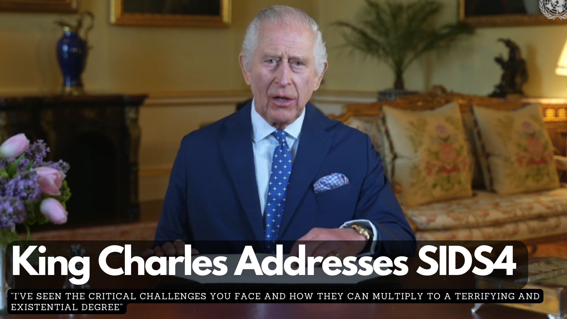
The session began with a recorded message from King Charles III. During his speech, King Charles III said, “I’ve seen the critical challenges you face and how they can multiply to a terrifying and existential degree. I have also seen how islands are leaders. You are continuously showing the world in tackling climate change, in protecting biodiversity and in stewarding incredibly 1/3 of the global ocean which is absolutely crucial in the fight against both climate change and nature loss.”

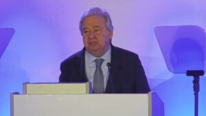
UN Secretary-General António Guterres, in his opening address, emphasized that SIDS are a “test case for climate justice and financial justice.” He decried the prospect of losing entire countries or cultures due to global warming and the disparities in the global financial system. Guterres called for bold investments from SIDS and substantial support from the international community, particularly from countries with the greatest responsibility and capacity to address these challenges. He underscored the urgency of implementing the Antigua and Barbuda Agenda for SIDS and demanded a fair and just global financial architecture.